Thirty systems, one sea
Before 1976, by IALA's own historical account, there were more than thirty different buoyage systems in use worldwide, many with rules in complete conflict. The deepest dispute was color: since lights began appearing on buoys in the late nineteenth century, some countries used red to mark the port-hand side of a channel, others for starboard-hand. A second disagreement was philosophical — whether marks should follow the lateral principle, indicating the two sides of a route, or the cardinal principle, placing marks in the compass quadrants around a danger. A 1936 agreement under the League of Nations came closest to unifying the rules — its draft provided for red on port-hand marks and largely reserved green for wreck marking, the recognizable ancestor of today's rules — but it was never ratified; the Second World War intervened, and the postwar rebuilding of destroyed aids to navigation simply froze local variations in place, especially in the crowded waters of northwestern Europe.
Wrecks in the Dover Strait
The pragmatic answer was to stop pretending there was one answer. Two systems were drafted — System A, using red for the port hand, and System B, using red for the starboard hand. System A's rules were completed in 1976, endorsed by the International Maritime Organization, and introduced in 1977, spreading through Europe, Australia, New Zealand, Africa, the Gulf and parts of Asia. System B's rules were completed in early 1980 for the Americas, Japan, the Republic of Korea and the Philippines.
One rulebook, two regions
Because the two rule sets were so similar, IALA was able to combine them into a single text — the IALA Maritime Buoyage System — that lets each authority choose red-to-port or red-to-starboard on a regional basis. At a November 1980 conference convened with the IMO and the International Hydrographic Organization, authorities from 50 countries and nine international organizations adopted the combined rules and drew the region boundaries on a map annexed to them. In April 1982 the "Agreement on the IALA Maritime Buoyage System" was signed in Paris by representatives of 53 nations, formalizing the harmonization. Within the system there are six types of marks; only the lateral marks differ between Region A and Region B, while the other five types are common to both.
The common five are worth knowing, because they are the same everywhere: cardinal marks in yellow and black with double-cone topmarks and the 3-6-9 quick-flash rhythms keyed to the clock face; isolated danger marks with double black spheres and a group-flashing white light; safe water marks in red-and-white vertical stripes; special marks in yellow with a yellow light; and, since the 2010 revision, the emergency wreck mark for newly discovered hazards too urgent to await routine publication — the same new-danger urgency that drives the Notice to Mariners pipeline.
Establish direction before applying the lateral colors
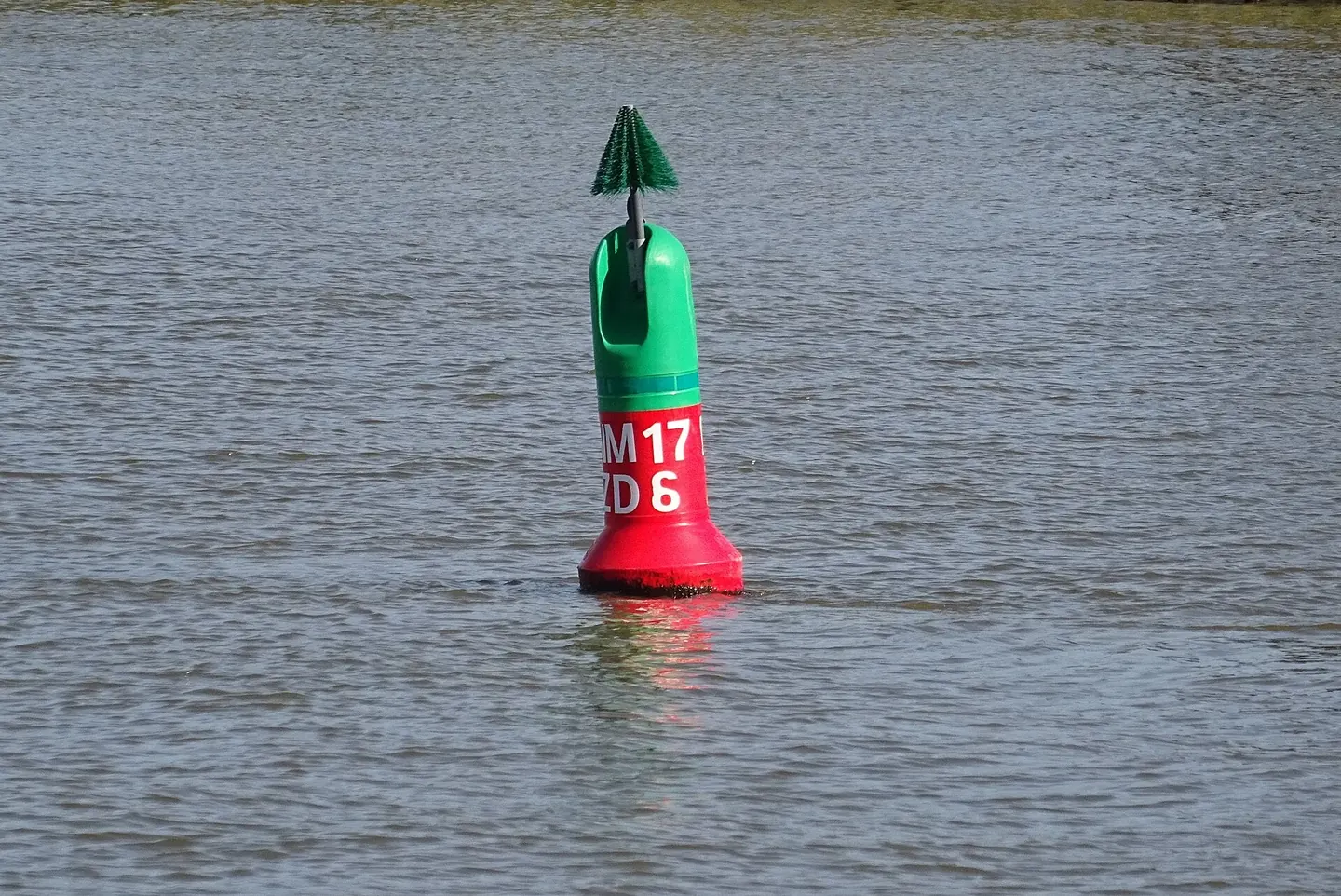
The red-and-green distinction refers to the conventional direction of buoyage. “Returning from sea” is a useful introduction where it matches that direction, but it is not a complete description of every complex channel. The applicable chart and local publications establish the direction needed for the particular route.
In a hypothetical straight entrance, label the direction into port and then place the two lateral sides. In Region A, red marks the port side in that direction and green the starboard; Region B reverses those colors. Now reverse the vessel's heading without moving the marks. The vessel's left and right change, but the conventional direction and the assigned marks have not moved.
A region is not a hazard ranking
The two regions do not make a red mark intrinsically dangerous in one half of the world and safe in the other. The mark supplies positional guidance within an established scheme. Cardinal and other non-lateral types answer different questions and should not be reinterpreted by mechanically swapping red and green.
The 2023 R1001 edition used here describes the combined system. Its date is identified so a reader can locate the actual rules examined; it is not a claim that no later publication exists. For a real voyage, obtain current information from the competent authority.
Keep the regional map separate from a mnemonic
NOAA's Coast Pilot describes the U.S. Region B convention and its specified exceptions. A place's name or political association is not enough to apply the exception: the stated geographic conditions must actually be met. Check the official regional coverage before selecting an example. Use the official regional map and chart rather than deducing a region from a place's political association alone.
A learning diagram should therefore show three labels: region, conventional direction and mark type. Once those are explicit, a color comparison becomes meaningful. Without them, a catchy phrase can conceal the very assumption a traveler needs to check when moving between systems.