A vessel approaching a harbor does not meet one lighthouse at a time in a tidy textbook order. It encounters a coastal system: a distant landfall mark, lights that help identify stretches of coast or hazards, and local aids that make an entrance legible. The three-part sequence—landfall, coastal passage, harbor approach—is a useful way to think about a voyage, but it is an editorial model rather than a universal classification used identically by every maritime authority. Actual aids are planned around local geography, traffic, risk and the responsibility of the authority that maintains them.
Landfall: recognizing the coast
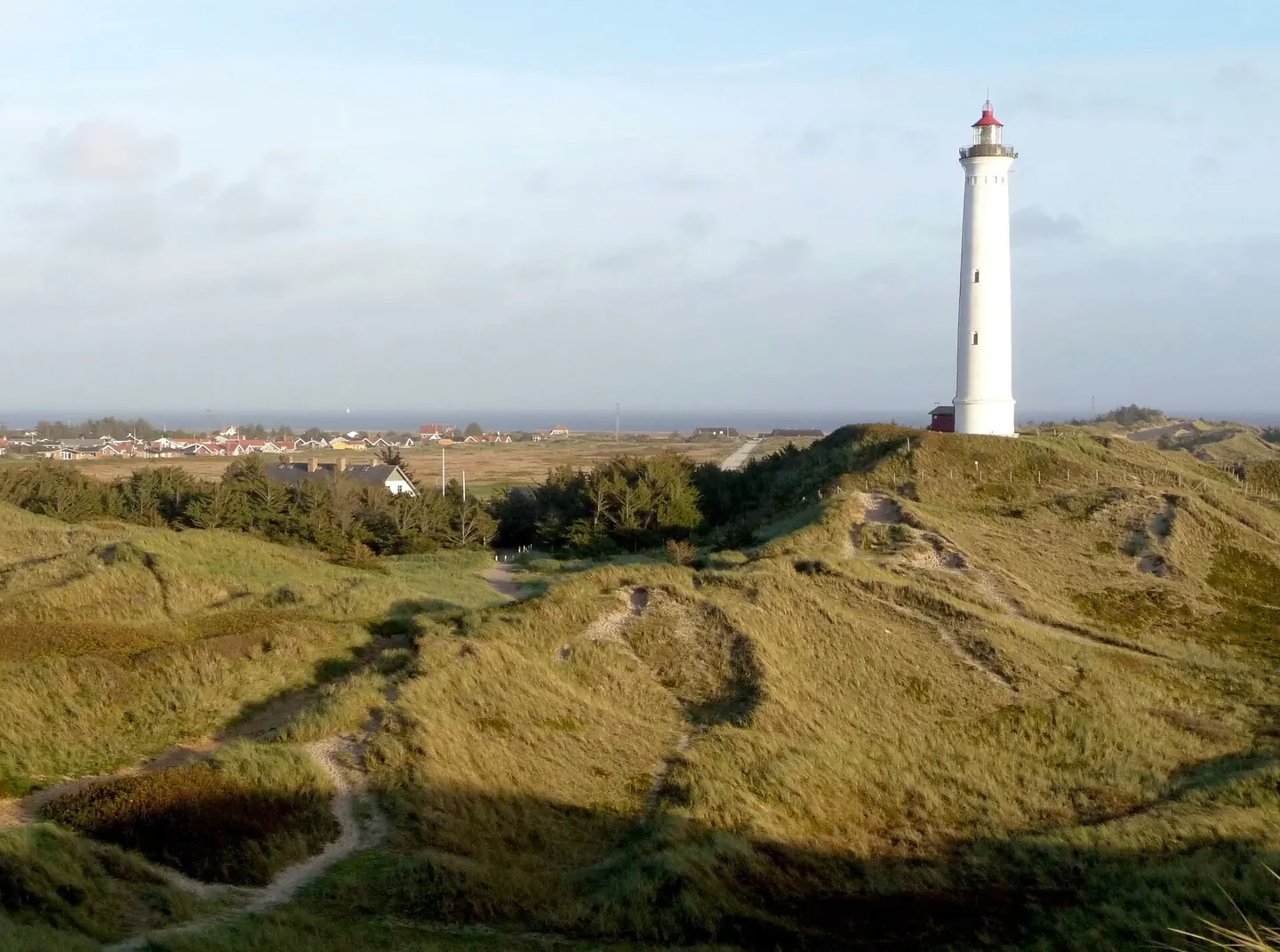
At landfall, the navigational question is broad: has the vessel reached the intended coast, and which feature or approach lies ahead? A prominent light can provide a recognizable reference when an ocean crossing gives way to coastal navigation. Cape Leeuwin is a documented example. AMSA says it was first lit in 1896 to mark the Indian Ocean landfall and the coastal route to Perth via Albany. That statement describes the station's intended role; it does not mean the light alone determines a vessel's position or replaces charts, instruments and safe watchkeeping.
Along the coast: keeping position among hazards
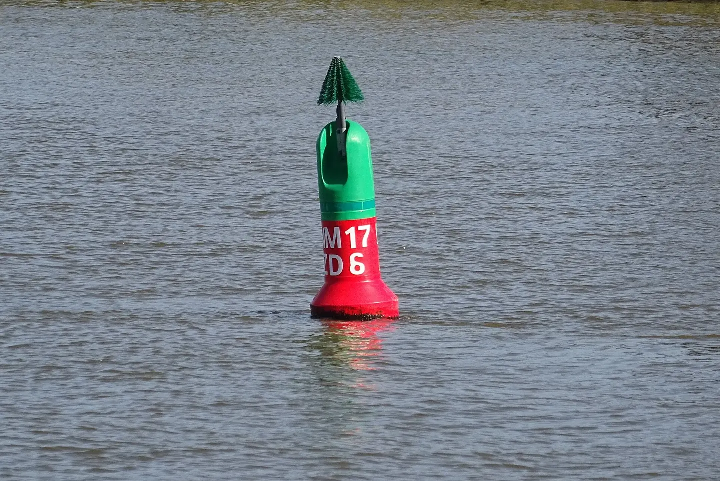
Once a vessel is near land, navigation becomes a succession of local questions. Which side of a channel is safe? Where is a reef or shoal? Which light marks a bend, headland or channel entrance? The answer may involve a tower, a buoy, a daymark, a sound signal or electronic information. The lights that help along a coast do not all have to be large towers. A small fixed light or floating mark can matter more than a distant landmark when the vessel is near the specific hazard it is intended to identify.
The point is not that every shoreline has a continuous row of lights. Aids are established where the responsible authority judges that marking is needed, and their positions can change when channels, hazards or traffic change. The U.S. Coast Guard's publication system includes multiple volumes by district and combines light information with sound signals and other aids. That structure suggests how mariners use a collection of local records rather than relying on a single iconic lighthouse to describe an entire coast.
Harbor approach: the final geometry
Categories describe importance, not distance from shore
These categories are also not synonyms for “landfall,” “coastal” and “harbor.” One describes the importance and expected availability of an aid; the other describes how a mariner might encounter aids along a route. A light close to a harbor can be vital, and a coastal light may have a different operational rating based on local risk. The authority's risk assessment and the role of the aid matter more than a simple distance from land. Keeping these axes separate avoids turning a useful route diagram into a false international standard.
Characteristics make lights readable
Two white lights may be distinguishable by their rhythms even if their colors match. A charted characteristic can describe fixed, flashing, occulting or grouped patterns and a repeat period. The exact notation depends on the publication, but the principle is consistent: a light's temporal pattern acts like an identifier. Range and sectors add other kinds of information. A vessel must still match what it observes to the appropriate chart and list entry; a flash pattern on its own is not proof that a particular light is in view.
One network, several technologies
Modern aids include more than visible lanterns. UK guidance defines aids to navigation broadly enough to include fixed and floating marks, lights, beacons, buoys, AIS and RACONs. Irish Lights' Hook Head listing provides a site-specific example: a white flashing light, a radar beacon showing Morse K and an AIS base station appear together in the station record. These systems do not perform identical tasks. A visible flash, radar response and AIS message can supplement one another, but they are not interchangeable signals.
A route diagram with three different questions
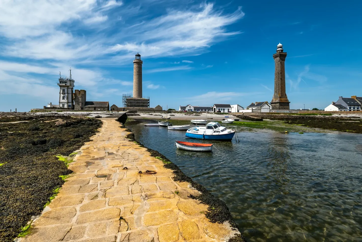
Imagine a vessel moving from open water toward a hypothetical port. At the first stage, a recognizable coastal light helps relate an offshore position to land. At the second, a mark helps distinguish a local hazard. At the third, an alignment or channel arrangement supplies more specific approach information. The drawing explains tasks; it is not a route to follow at sea.
Now remove the dramatic landfall tower from the drawing. The rest of the network does not necessarily stop making sense. A route can use different combinations of visible and electronic information. Conversely, keeping the large tower while removing a small local mark may leave a particular harbor question unanswered. Physical size is not a reliable ranking of navigational importance.
For an editorial comparison, attach each aid to a question and an authority. Record the applicable publication and whether the aid is fixed, floating or electronic. That makes a network legible without pretending that every coast follows the same three-stage classification. It also reveals why an availability category and a position along a voyage describe different things.