Some navigation aids can transmit an electronic report as well as show a physical light or shape. In the Automatic Identification System (AIS), an Aid to Navigation station can send information about the aid to compatible shipboard equipment. The digital report can help a mariner recognize an aid, but it is not the same thing as seeing the buoy or lighthouse itself. That distinction is especially important because AIS AtoN can be physical, synthetic or virtual.
Message 21 carries the AtoN report
The U.S. Coast Guard Navigation Center identifies AIS Message 21 as the Aids to Navigation Report. It is used by an AIS AtoN station and is generally transmitted automatically about once every three minutes. The message can include the aid’s identity, name, type, reported position, dimensions or position reference, electronic position source, time information and certain status fields. It also carries an indicator that distinguishes a virtual AtoN.
The report is a structured radio message, not a live camera view or a guarantee that a physical marker is intact. A receiving navigation system interprets the data and can present a symbol and information to the user, depending on its capabilities and configuration. A reported coordinate must be understood with its accuracy, source and status. The Coast Guard’s specification notes that fixed and virtual aids should use the charted position; Message 21 also carries fields used for position accuracy and electronic positioning equipment.
Three ways an AIS AtoN can be represented
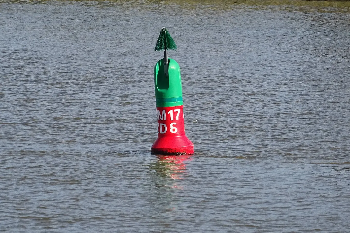
A real or physical AIS AtoN is a physical navigation aid fitted with an AIS station that broadcasts from the aid’s location. The physical object remains part of the navigation environment: a buoy, beacon or other aid can be seen when conditions permit, and the electronic report can identify or describe it.
A synthetic AIS AtoN represents a physical aid whose AIS message is transmitted from a different location. A remote station sends the report about the real aid. IALA’s guidance distinguishes monitored synthetic aids, where a communication link provides information about the physical aid’s location and status, from predicted synthetic aids, where the remote transmitter reports the expected aid but does not confirm its position or status in the same way. The physical object exists in either case; the monitoring arrangement differs.
A virtual AIS AtoN has no physical buoy or beacon at the reported position. A base station or another AIS AtoN station broadcasts the message so that a symbol can appear on an electronic navigation display. IALA guidance identifies temporary marking of a hazard as one possible use, including circumstances where a physical aid cannot be established promptly or practically. It is still an authority-managed navigation message, not a marker that an individual user can assume is present in every display.
Why use a virtual mark?
The benefits come with limits. A virtual AtoN is visible only to equipment that receives and correctly presents the relevant AIS information. The symbol may not appear on every radar, chartplotter or electronic display, and different equipment can present details differently. A mariner should use the official notices, chart and navigation publications appropriate to the voyage, rather than assuming that a missing symbol means there is no hazard.
Position, status and the display
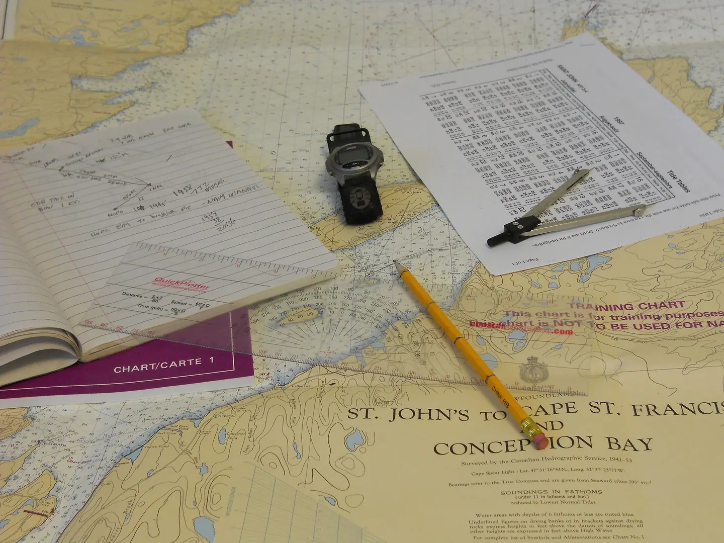
Chart symbology can help, but it is not always enough to identify how an aid is generated. The U.S. Coast Guard cautions that synthetic and physical AIS AtoN may be difficult to distinguish by looking only at the chart. Its Light List provides relevant information when a mariner is unsure. Virtual aids may appear as “VAIS” in the chart context described by the Coast Guard. Presentation conventions can vary, so users should use the current publications and equipment documentation for their area.
AIS AtoN is not a vessel’s AIS report
AIS is widely associated with vessel position reports, but AtoN stations serve a distinct purpose. They broadcast information about a navigation aid, using the AtoN report format. A vessel’s own messages describe the vessel and its navigation data. An AIS AtoN is not a ship, and a symbol for a virtual aid does not represent an object physically occupying the location.
What users should check
Three reports about a hypothetical shoal
Imagine a buoy beside a shoal and a radio station on shore. In the first arrangement, an AIS unit on the buoy reports the aid: that is a physical AIS AtoN. In the second, the shore station reports the same physical buoy: that is synthetic reporting. Removing the buoy while continuing to broadcast an authorized mark at the intended position creates a different relationship, a virtual aid. These are teaching arrangements, not descriptions of an actual deployment.
Now add a fault. If the physical buoy moves, a monitored synthetic arrangement can obtain information through its monitoring link. A predicted synthetic report does not provide the same confirmation. The distinction concerns the evidence behind the report, not whether the display draws an attractive symbol. Always separate the transmitter's location, the represented position and the physical object's existence.
A useful annotated diagram therefore has three labels rather than one: where the message originates, what it represents and what a vessel could actually see there. This makes the limits understandable without assuming that any particular chartplotter displays every field or supports every presentation.